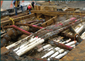
The Open Geospatial Consortium with the support and sponsorship of the Fund for the City of New York, the Ordnance Survey of Great Britain and the Singapore Land Authority are conducting a study of underground infrastructure data to develop a series of interoperable data standards for various utility networks and for the underground environment including soils layers. Many work processes – both urban, suburban and rural – would benefit from more efficient, accurate and complete infrastructure information data exchange ranging from routine excavations to large scale disaster planning and response.
On April 24 and 25th, 2017 there was an OGC workshop held at the Fund attended by forty geospatial experts including representatives from Singapore, Great Britain, France, Germany, Italy, Belgium and the Netherlands. This URL will take you to information about this initiative posted on the OGC website: http://www.opengeospatial.org/projects/initiatives/undergroundcds Available for download are many of the presentations made at the workshop, responses to the original OGC RFI and general information about the project. In particular, I would recommend looking through the presentations and RFI responses from Belgium since the Flanders region has a fully operational, digital infrastructure sharing system that is realizing significant time and monetary benefits based on the European INSPIRE utility models.
Please email me at aleidner@fcny.org if you have any questions or would like additional information.
Alan Leidner, Director
Center for Geospatial Information
Fund for the City of New York
